 |
| Sun pouring gold onto Mount Muir. |
“From the sun I learned this: when it goes down, the
exuberant one, it pours gold into the sea from its inexhaustible wealth—such
that even the poorest fisherman rows with golden oars. For I saw this once and
did not tire of my tears as I gazed on.” Thus
Spoke Zarathustra, Friedrich Nietzsche.
The summit of Whitey is 7.5 miles from Crabtree Meadows with
a 4000 foot elevation gain. I began my ascent around 9:00 AM on the 8th
of July. My goal was to make it for at least part of the sunset. I was in no
hurry. I decided that I was not going to blow through the Sierras. Instead, I
was going to take my time and really appreciate every alpine lake, every
mountain pass vista, and every valley. The Whitney trail slowly climbs 2000 ft.
for roughly the first five miles, passing many lovely alpine lakes. About three
miles in I stopped to rest at Guitar Lake (not so named because of its location).
The great thing about being in the Sierras was the abundance of *ice* cold
water in alpine streams and lakes. I started to make a habit of stopping
frequently to soak my legs and so reduce swelling. The views were spectacular
to say the least. The lake was flanked by the snow filled hills at the foot of
Mount Hitchcock. The beautiful blue color of the lake water gave way to an inspiring
vista of westerly snowcapped peaks of the High Sierra. I made my way to the
base of Mt. Muir, which is to the south of Whitney, where the trail climbs
about a mile along a ridge to the Whitney Portal trail. The switchbacks were
not too steep but extremely long. Aside from technical mountaineering routes, there are two
main trails that one can hike to get to the Whitney Summit: a trail that
ascends from the west, which I was on, and only accessible via the backcountry;
and a trail from the east, which is used by those traveling via car from Lone
Pine. The two meet at the Whitney Portal trail junction near the top of Mount
Muir. From there it is a rugged two mile climb up and down a spiny ridge
connecting Mount Muir to Whitney.
 |
| Timberline Lake just outside of Crabtree. |
 |
| Western High Sierra from Guitar Lake. |
 |
| Mount Hitchcock and Hitchcock lakes on the left. Guitar Lake on the right. |
At a little over 14.5K feet, Whitney is the
highest point in the contiguous United States. Whitney also has a high
prominence of over 10K feet. Yet two things struck me about Whitney: the variety of its facets and its modesty. Like a well written complex character in a novel
or play, there are many interesting faces of Whitney. The eastern face of
Whitney is a sheer crag. To the north and south is a complicated spiny
ridgeline stubbornly joining the highest peak in the lower 48 with its peer
peaks. However, the top of Whitney, along with the western face, is relatively
level and rounded. That is until right before Whitney joins the western valley
floor below, which it shares with Mount Hitchcock and Mount Young (to the
southwest and north west respectively), where Whitney once again drops into a
series of sheer spiny granite spires. Yet despite its complex character,
Whitney is modest insofar as it never really stands out. It is flanked by Keeler Needle and Mount
Muir to the south and Mount Russel to the north. When I hitched back to
Horseshoe Meadow, a few days prior, we took Whitney Portal road for part of the
way. From that particular easterly vantage near the floor of Owens Valley, the
peaks surrounding Whitney seem to steal the spotlight, downplaying the
prominence of Whitney’s peak. From the west, the rounded top almost makes
Whitney look like it is shyly slumping, revealing its humility.
 |
| The Whitney summit is on the right obscured by Keeler Needle (the little sharp notch jutting out on the right). You can see the snow fields on Whitney's gentle back. |
 |
| A closer view. |
At the same
time, it was impossible to underappreciate the power and awesomeness of
Whitney. Once I started hitting an elevation around 13K ft. the hike became
more and more (and more) cardiovascular. After about an hour of laborious
hiking along the trail crest I rounded a corner thinking that the summit was
near. I did in fact get my first view of Whitney’s peak, but I felt crushed
when I realized that I was still about 7/10 of a mile away. After close to another hour of hiking, I
finally made it to the summit! The summit was a very large boulder field, that
reminded me of my summit of Mount San Jacinto, and on the summit sat a shelter
built in 1909. I explored the edges of the peak admiring the spectacular views
of the High Sierra to the west and north and the views of the Inyo Mountains
towering over Owens Valley to the east. At one point I was the only person on
the summit making me the tallest person standing on the contiguous United
States!
 |
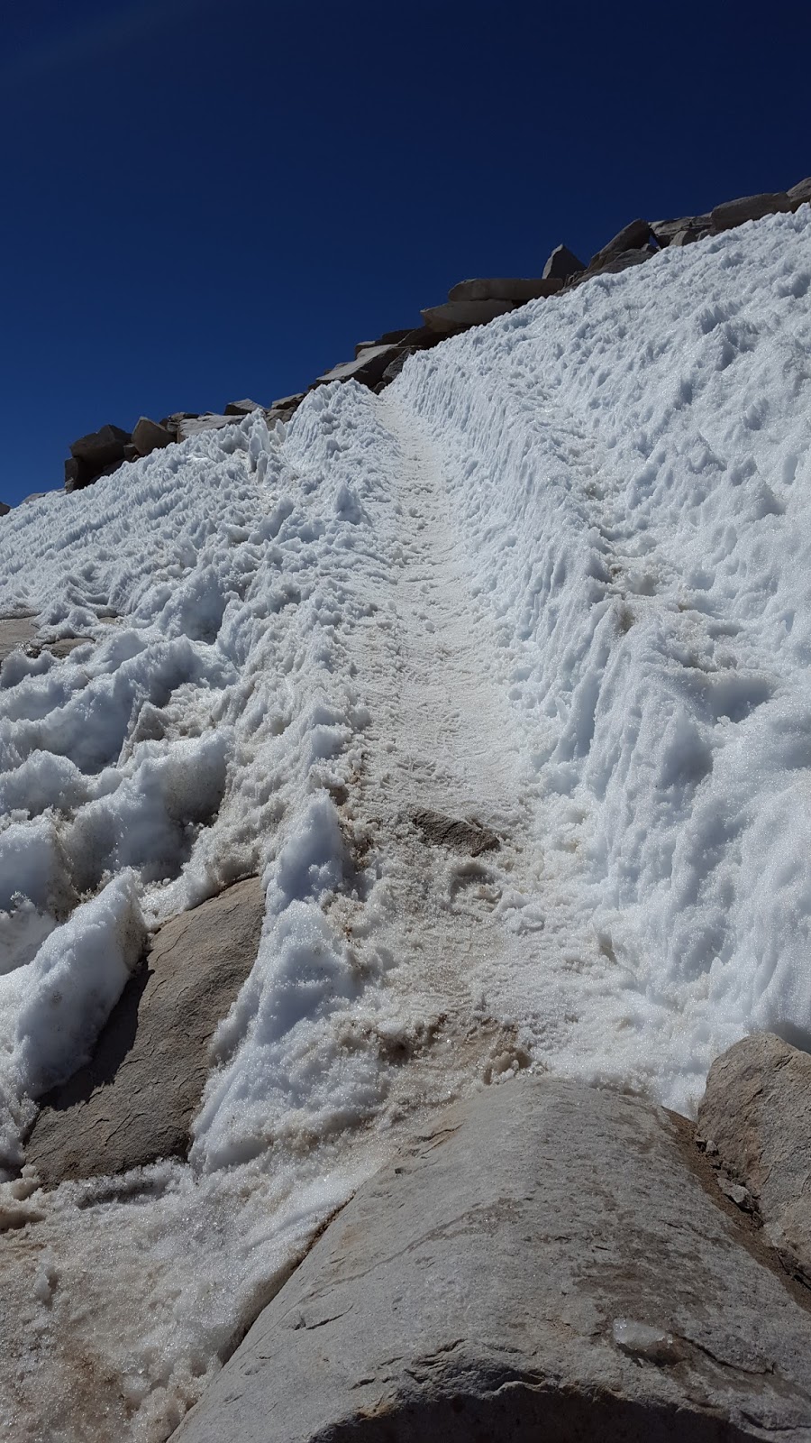
| A snow chute on the way up to Whitney's boulder field. It looked a bit scarier than it actually was. |
 |
| My first 14er! |
 |
| North of Whitney. I think that is Mt. Russell on the right. |
 |
| East from the summit. That's Owens Valley followed by the Inyo Mountains. |
To my great surprise, people started coming over the sheer,
southeastern sides of Whitney. It was two separate groups of mountaineers who
had just successfully completed a challenging and dangerous mountaineering
route to the summit. After chatting a bit, I decided to start my descent. I was overcome by the views as I worked my way back down the
trail crest. Mount Muir and Mount Hitchcock were golden in the light of the
setting sun. Recall that PCT hikers were not allowed to camp between Crabtree
Meadows and the Whitney summit. This meant that I was supposed to hike the full
7.5 miles back to Crabtree. However, it was around 8:30 PM, which meant a long
night ahead. Right below the Whitney Portal Trail junction, on the western
ridge running down Mount Muir, there was an extremely small campsite on the
corner of one of the switchbacks at around 13.5K ft. I decided that I would at
least stop and eat dinner and admire the beauty of the valley as the sun
finished setting and the moon chased close behind. But I was exhausted and my
shin felt very tender. Not being a rule breaker but a rule maker, I decided to
make a new rule: anyone hiking the PCT and the entirety of the John Muir Trail
can camp on the ridge of Mount Muir. Recall the John Muir Trail starts at the
Whitney Summit and continues over 200 miles to Yosemite Valley all the while
mostly continuous with the PCT. I was going to try and at least finish the JMT
so that I at least had a consolation prize should I not make it all the way to Canada, which
was looking likely. So I reasoned that since I was not just a PCT hiker but now also a JMT
hiker, the new rule allowed me camp before Crabtree.
 |
| Mount Hitchcock. Sunset from the ridge of Mount Muir. |
 |
| The moon chasing the Sun from my campsite. |
 |
| Starry night. That is a granite wall at my campsite. It is illuminated by the light of the Moon. |
 |
| On the way down the next morning. |
John Muir aptly said the Sierras should be called the Range
of Light, so I felt it was very appropriate to finish the day admiring the play
of light in the peaks and valleys from Mount Muir. I set up my tent, which
barely fit on the small flat surface. I had difficulties sleeping that night.
The issue wasn’t the weather since it wasn’t too windy, and while the air was very cold I
felt warm in my tent and sleeping bag. I think the issue was sleeping at such a
high elevation. No matter, I didn’t mind so much and got out of my tent between
dreams in order to admire the plentitude of stars. Around 2:00 AM I could see a
steady line of headlamps coming up the trail as people started making their way
for a sunrise summit. (I was tempted to hike the 2.5 miles back to the summit
myself, but it’s a strenuous hike and didn’t want to injure myself. No point in
being greedy!) As I lay in my tent I
could hear the rhythm of laboring breath and trekking poles as people rounded
the corner of the switchback. Often someone commented in surprise when a
headlamp illuminated the fact that a person was camping so high. One person
asked their companion in a tone of surprise, “Who would camp up here!?” The
companion responded, “I don’t know. Maybe a ranger?” I’ll tell you who would camp
in such a spot: A muthalovin’ PCT hiker—that’s who.
 |
| If you look closely on the right you can see the Whitney shelter and two people. |
 |
| That's the Whitney Shelter in the background. |
 |
| More stars from camp. I'm not set up for astrophotagraphy, so it's a little blurry. |
 |
| Whitney's shadow in the middle. That's Owens Valley in the distance. |


No comments:
Post a Comment